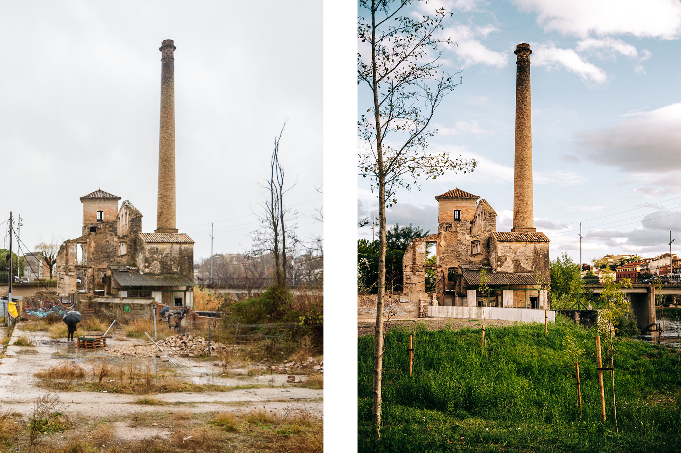
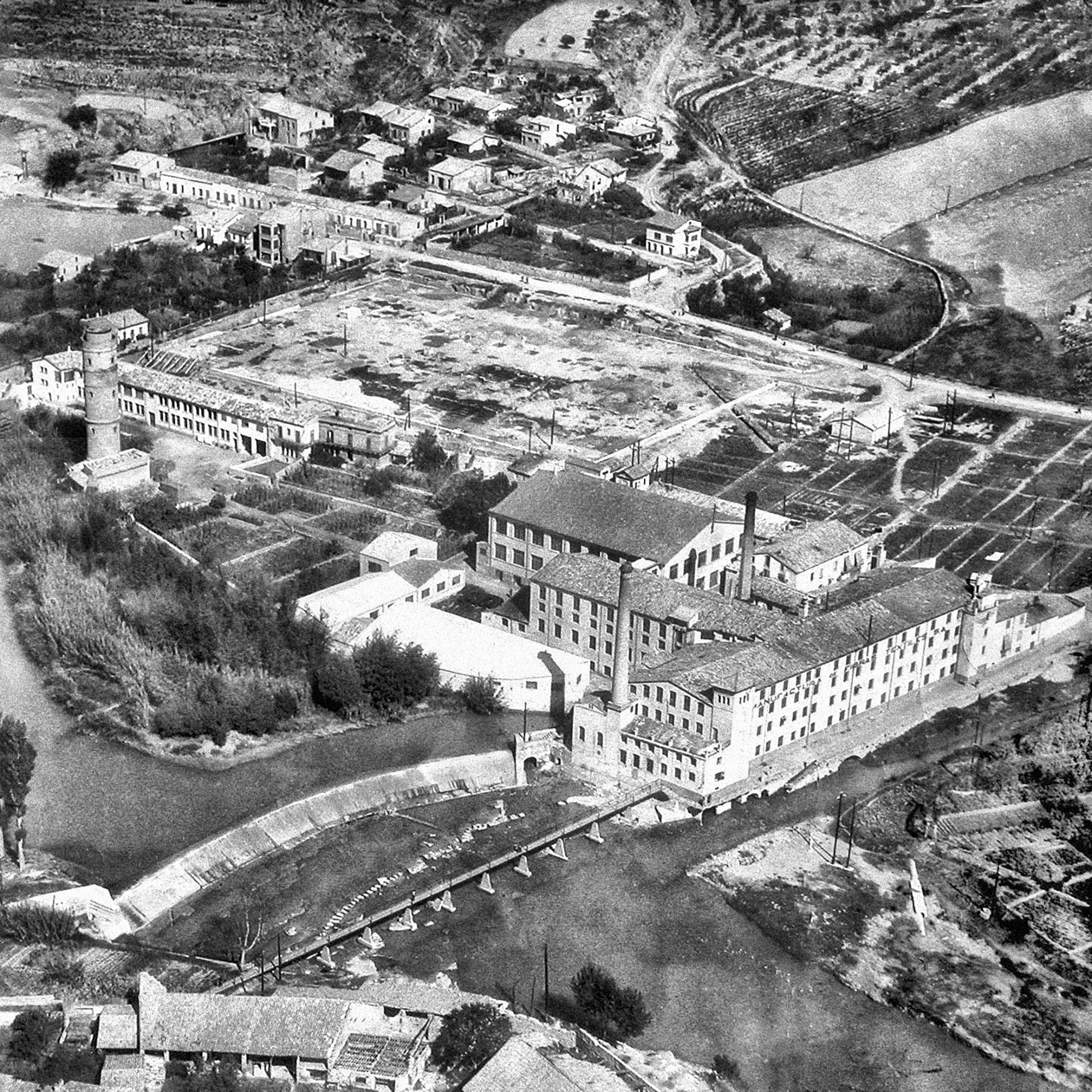
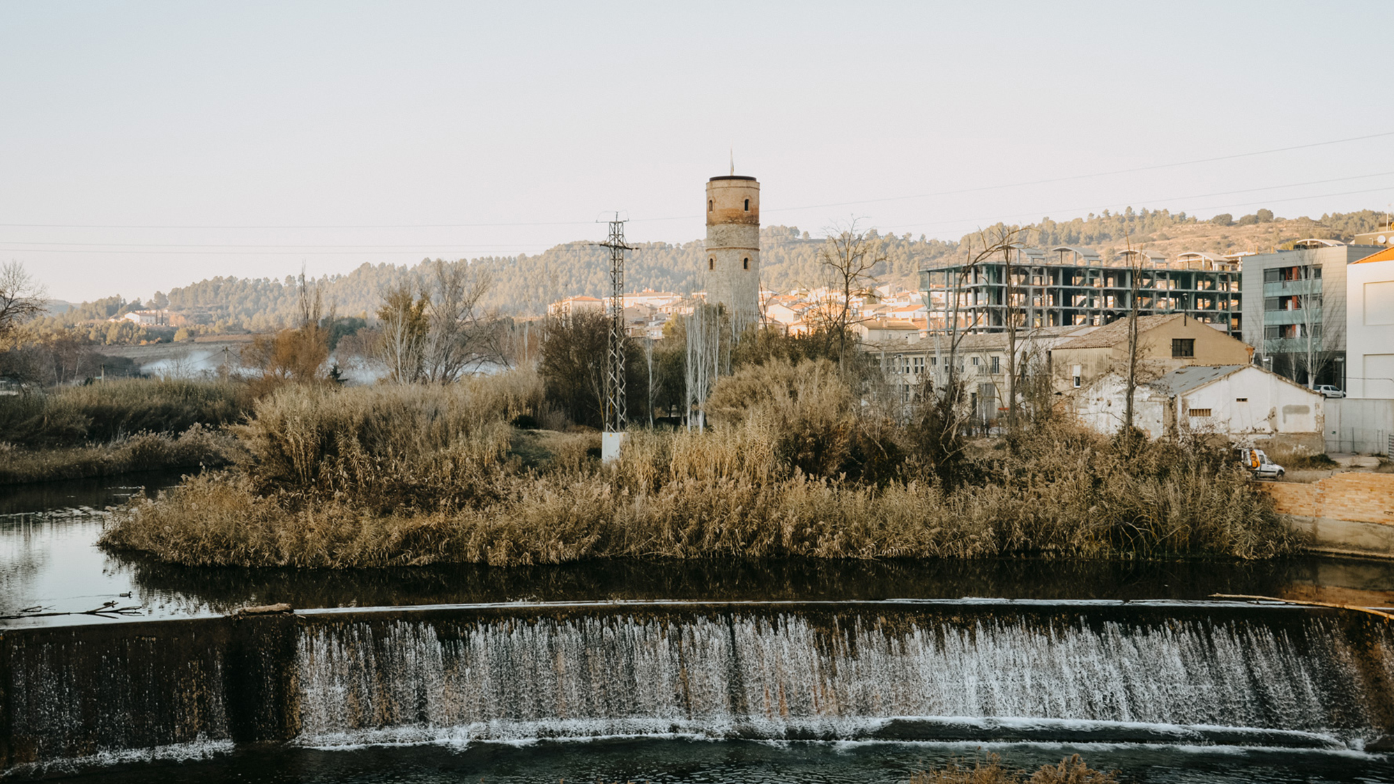
Previous state
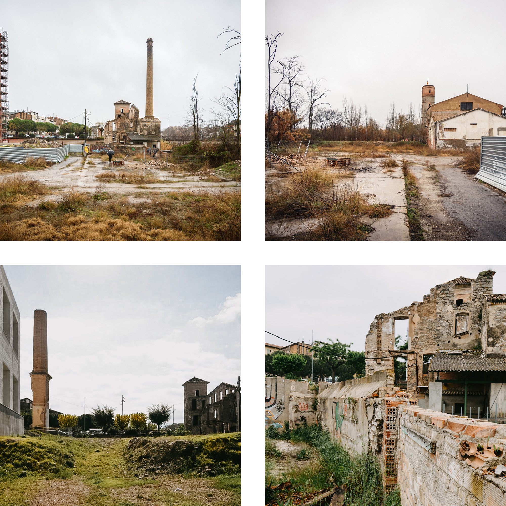
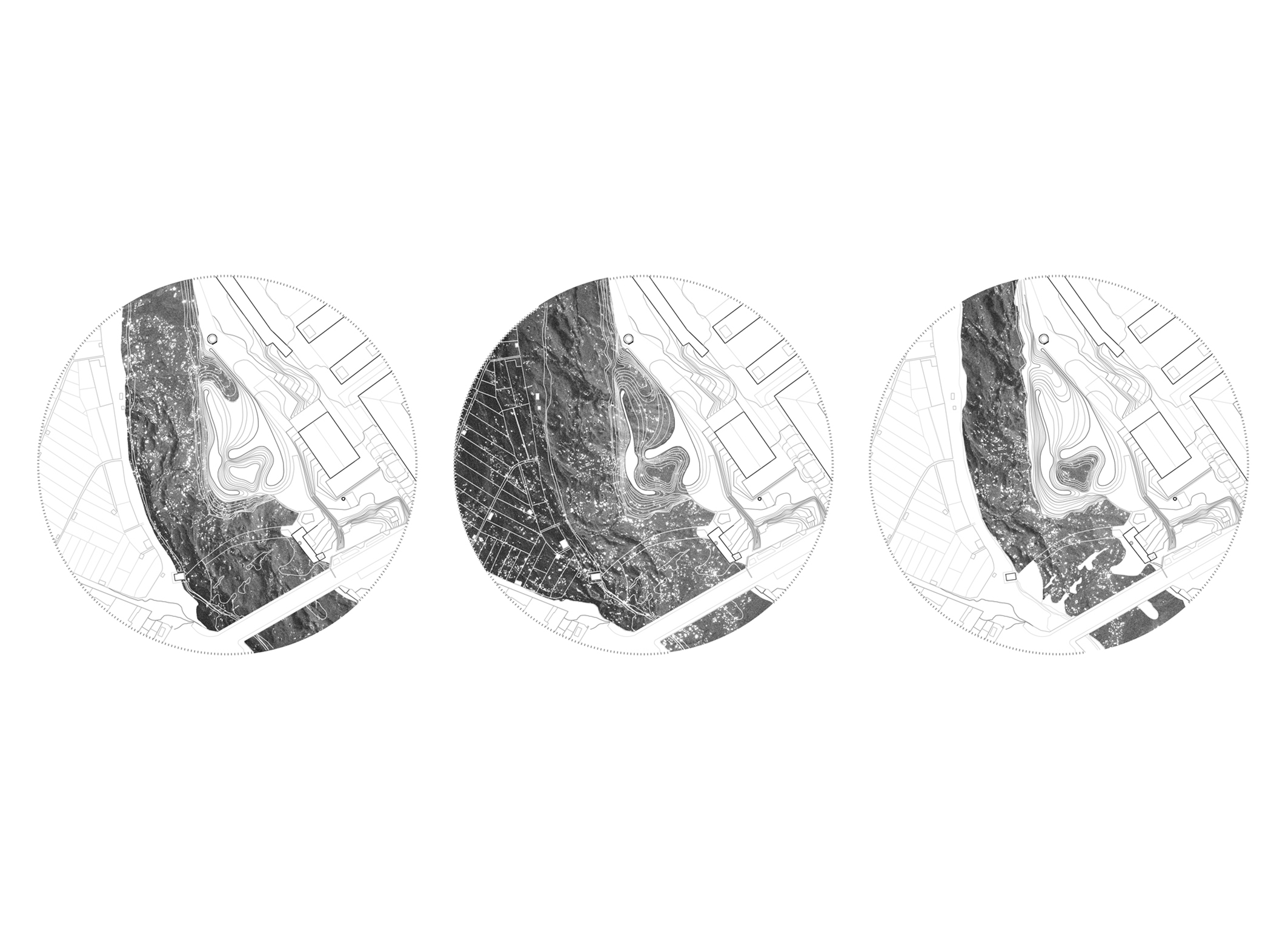
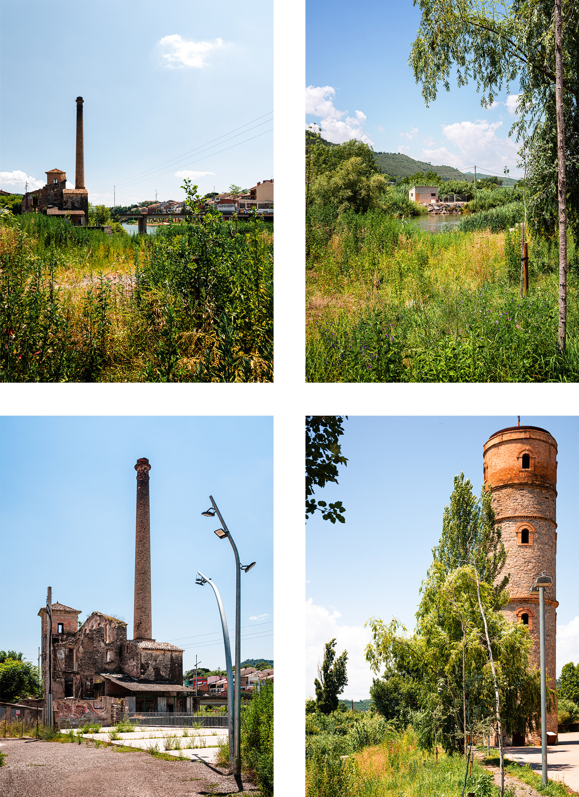
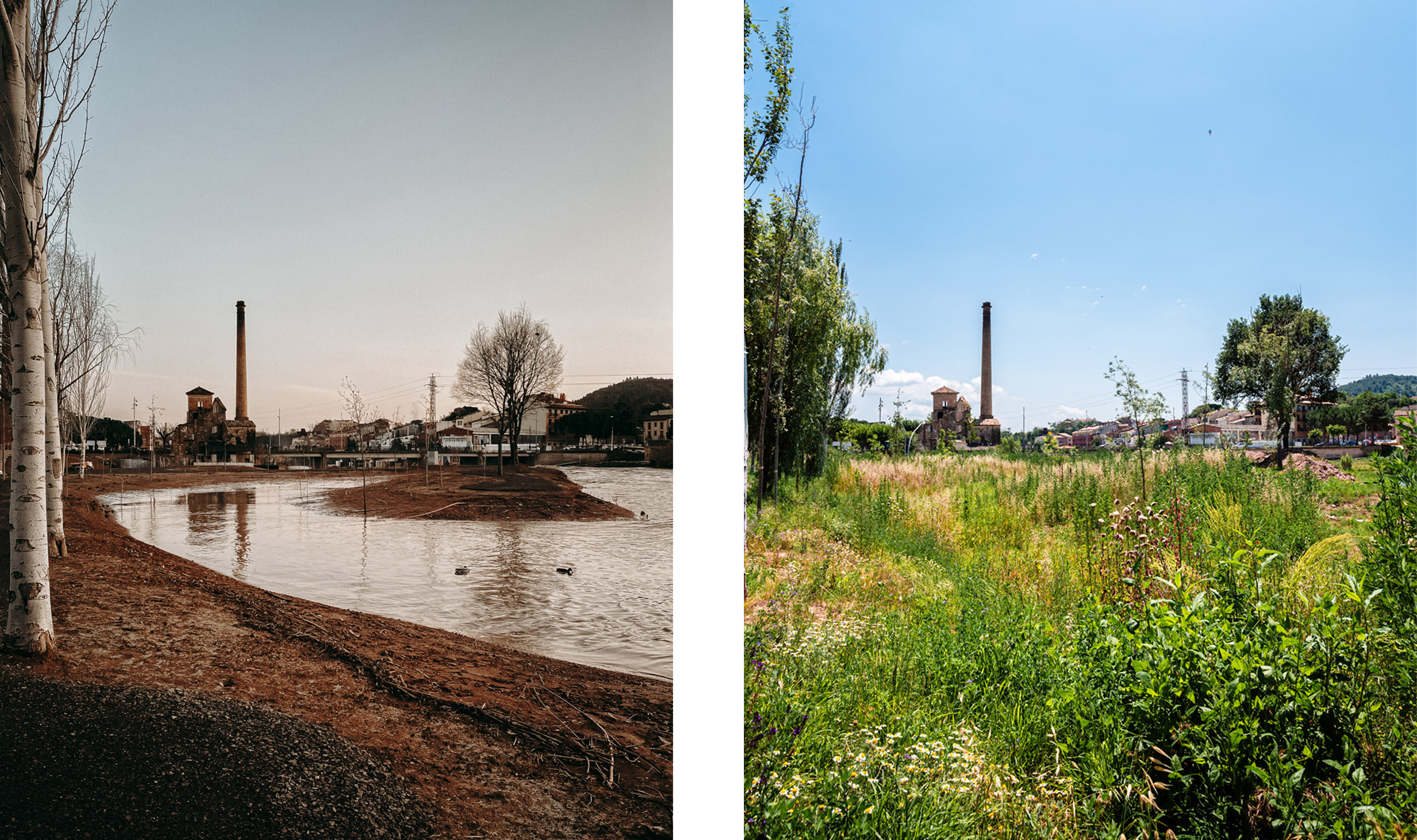
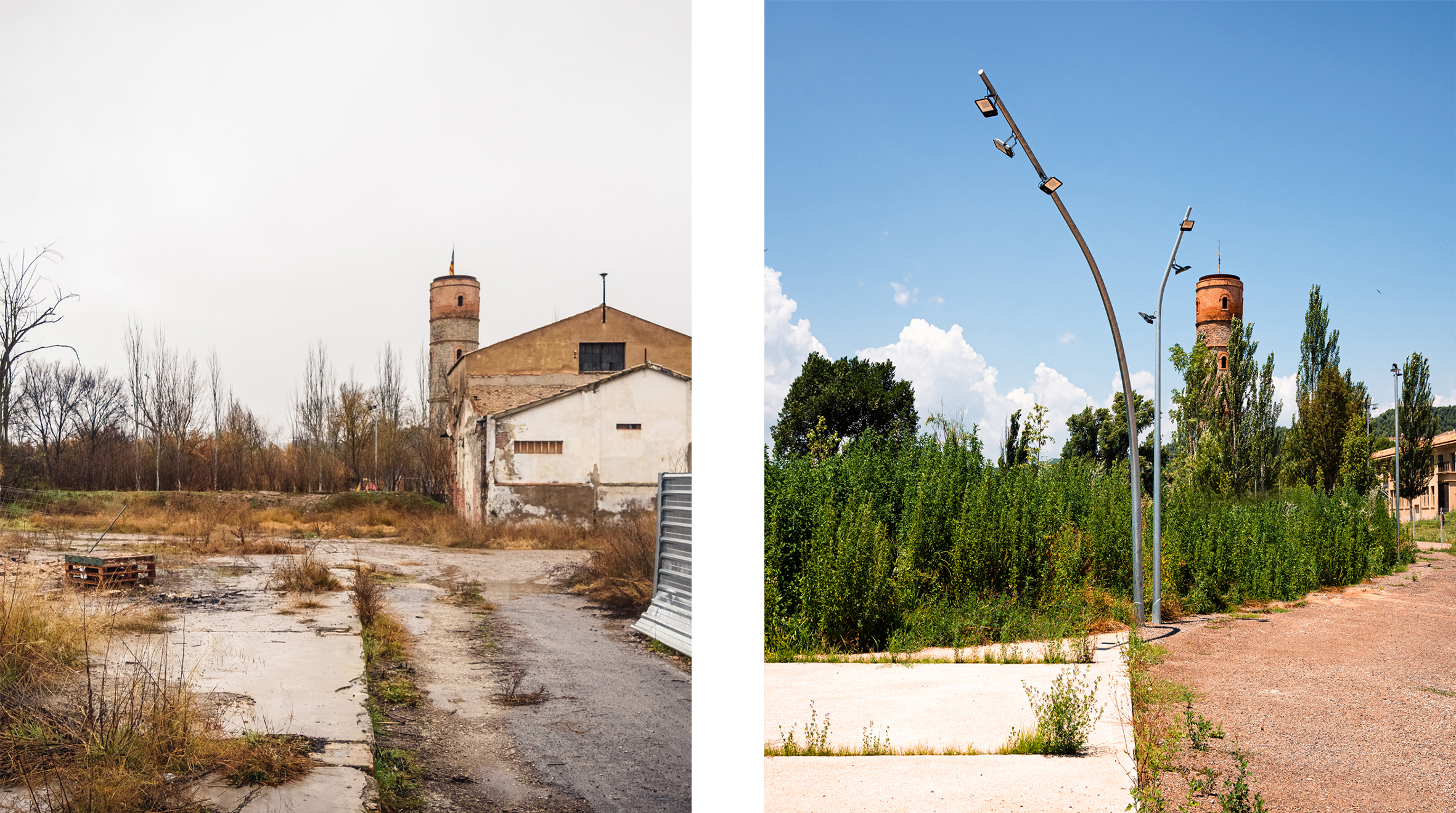
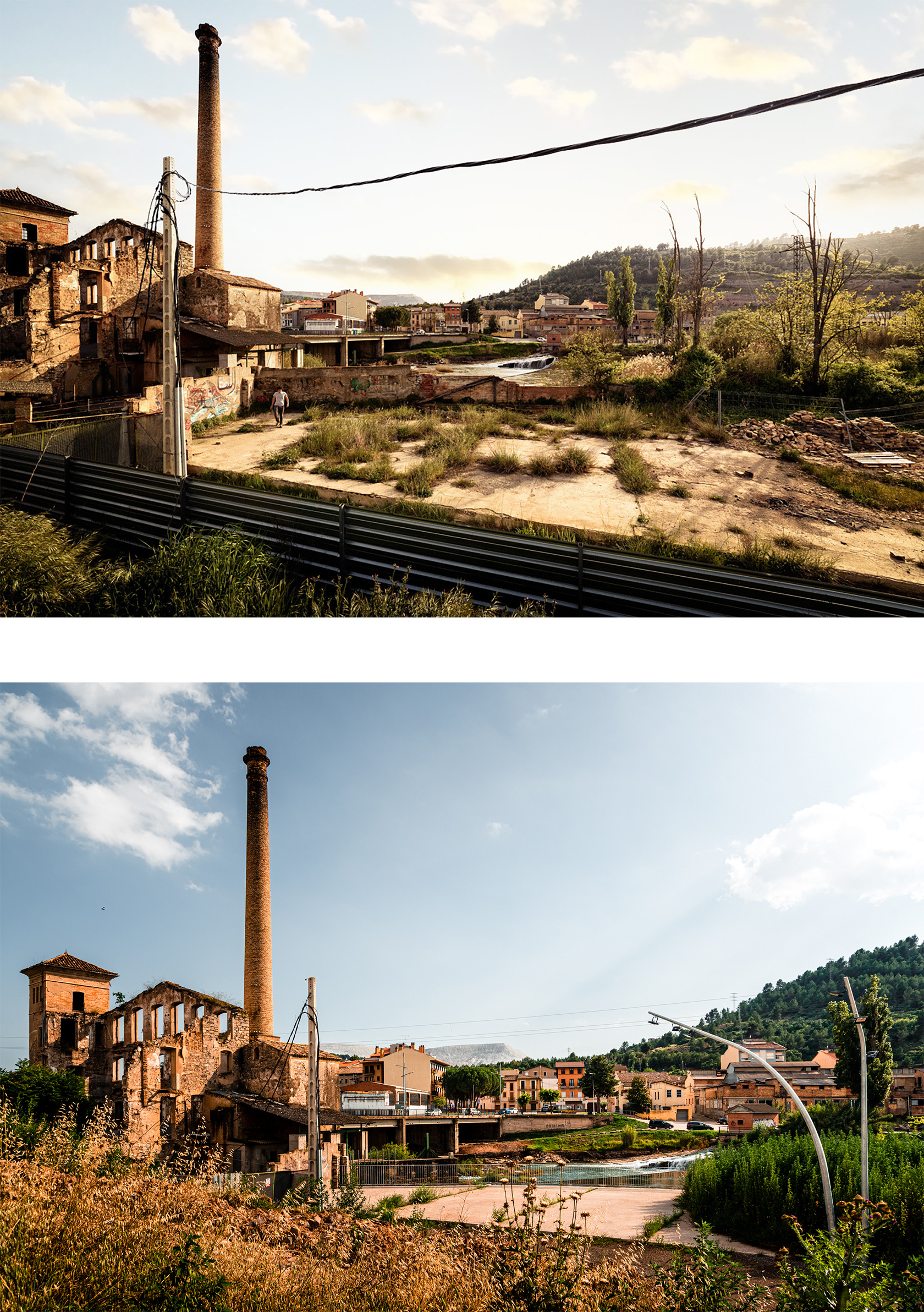
The industrial boom of the 20th century brought about a major transformation of the Llobregat River. Its ecological continuity was compromised and it became one of the most industrialised rivers in Europe. Following the eventual decline of the industrial colonies, the municipality of Sallent de Llobregat once again expanded towards the river without considering the presence of the waters that were intertwined with its identity. The original natural conditions of the riverbanks had been completely lost, having been colonised by invasive species that were harmful to the ecosystem, causing the environmental degradation of the land between the town and the river. Additionally, because of construction on the banks, the river’s natural capacity to manage episodes of flooding was impeded, causing a danger to the urban spaces.
Aim of the intervention
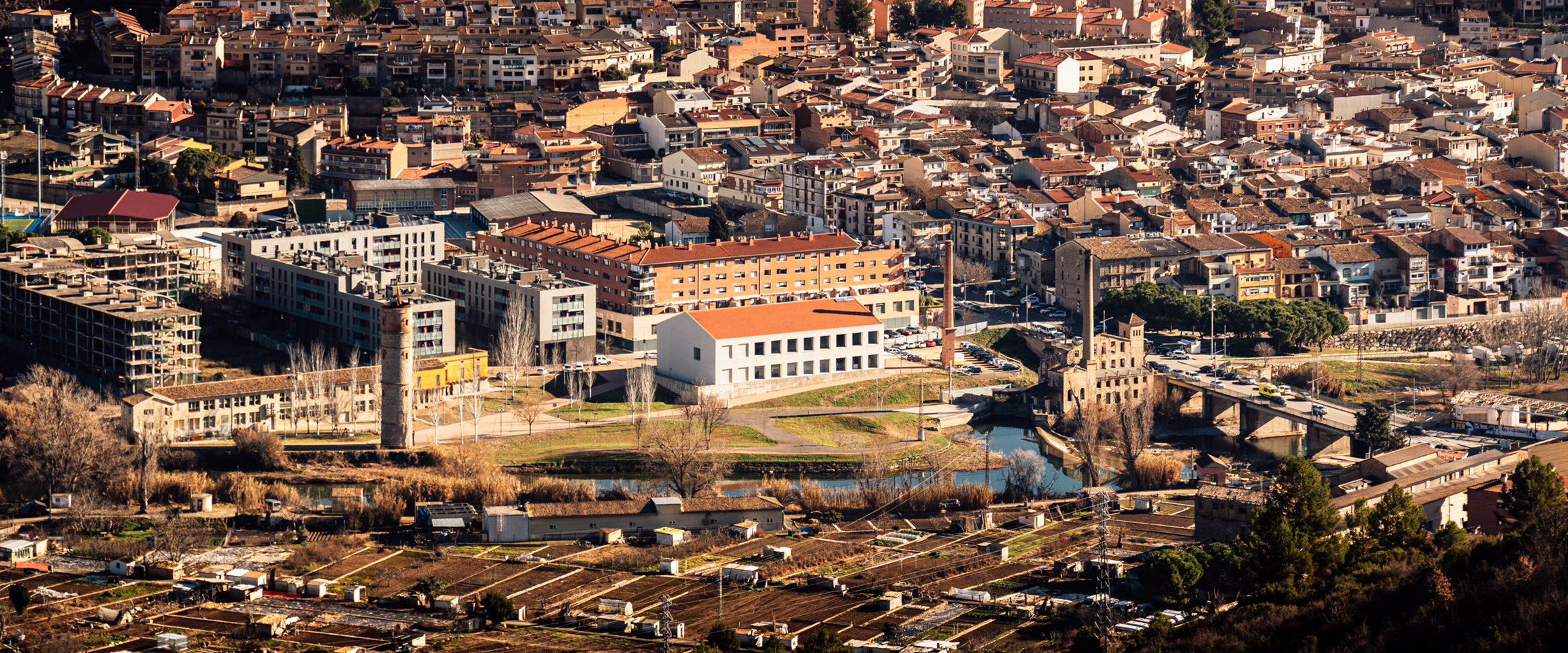
The project reorganises the spaces around the Llobregat River as it passes through Sallent in a site that had lost the heritage value of the water-related industry and its relationship with nature. The intervention renaturalises a terrain that was heavily transformed by its industrial past to reconnect the population with the river and restore the identity of the place in connection with the water. The project pursues a transformation of the territory following natural logics that foster the resilience of the landscape over time.
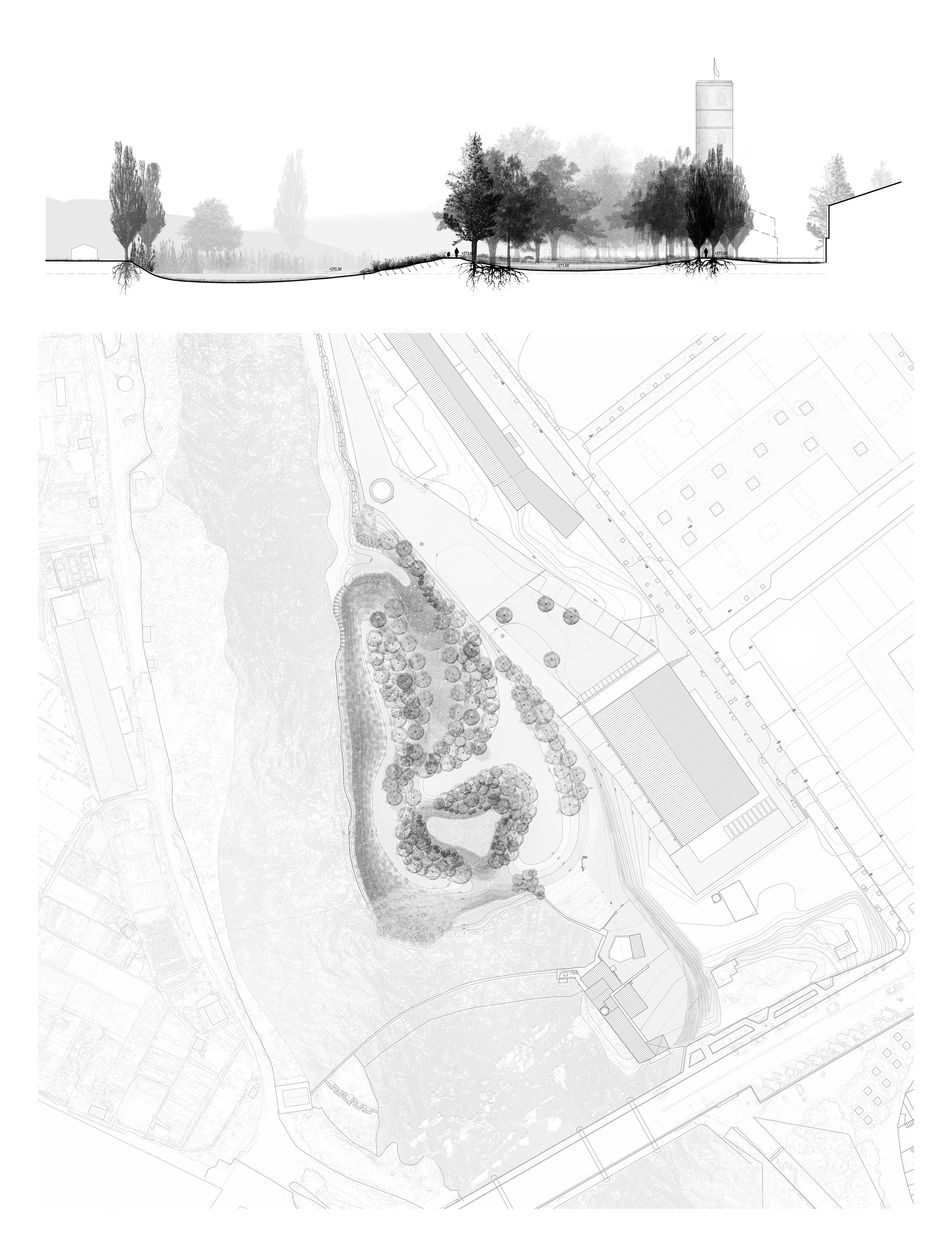
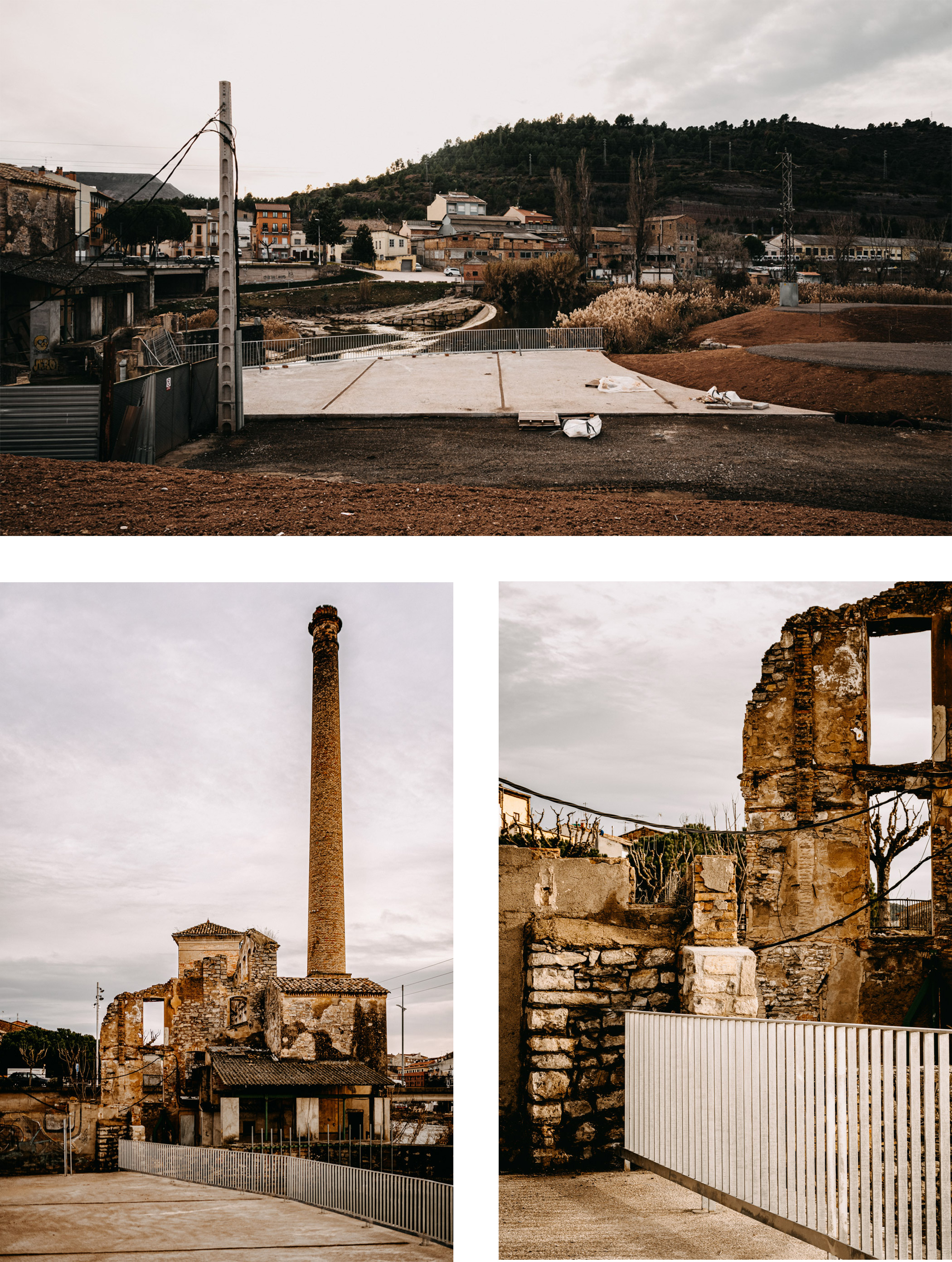
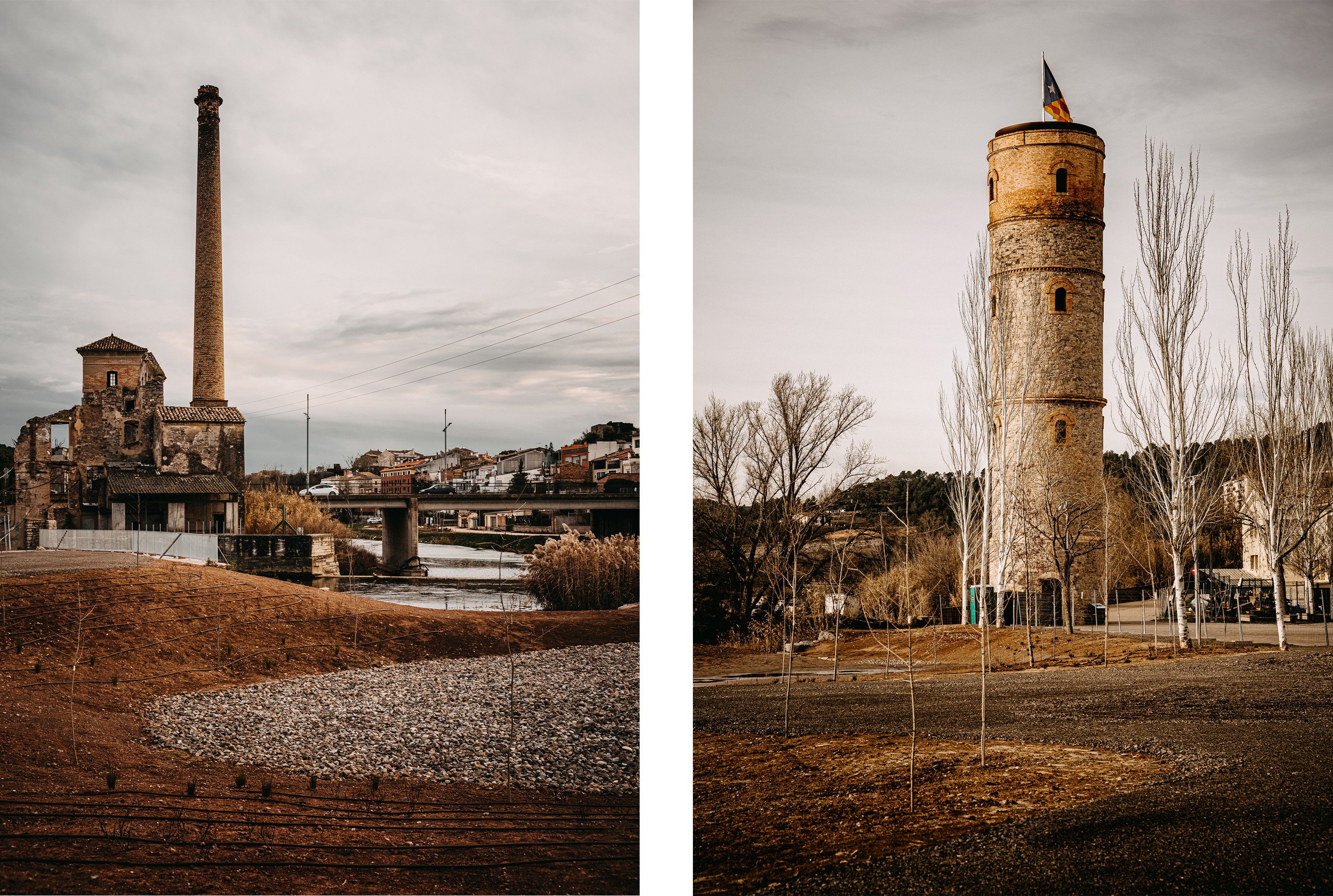
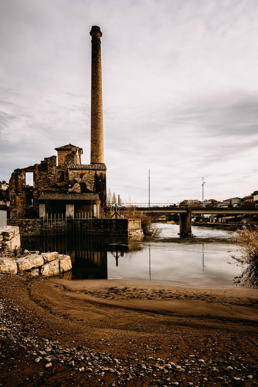
The chosen site, part of the industrial heritage from Sallent de Llobregat's past, is located between the gas tower and a former factory, on land gained from the river by the accumulation of sediments. The proposal develops strategies that are intended to recover ecological connectivity, improve water management and generate biodiversity.
Description
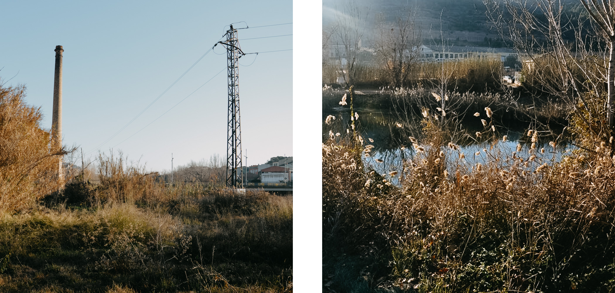
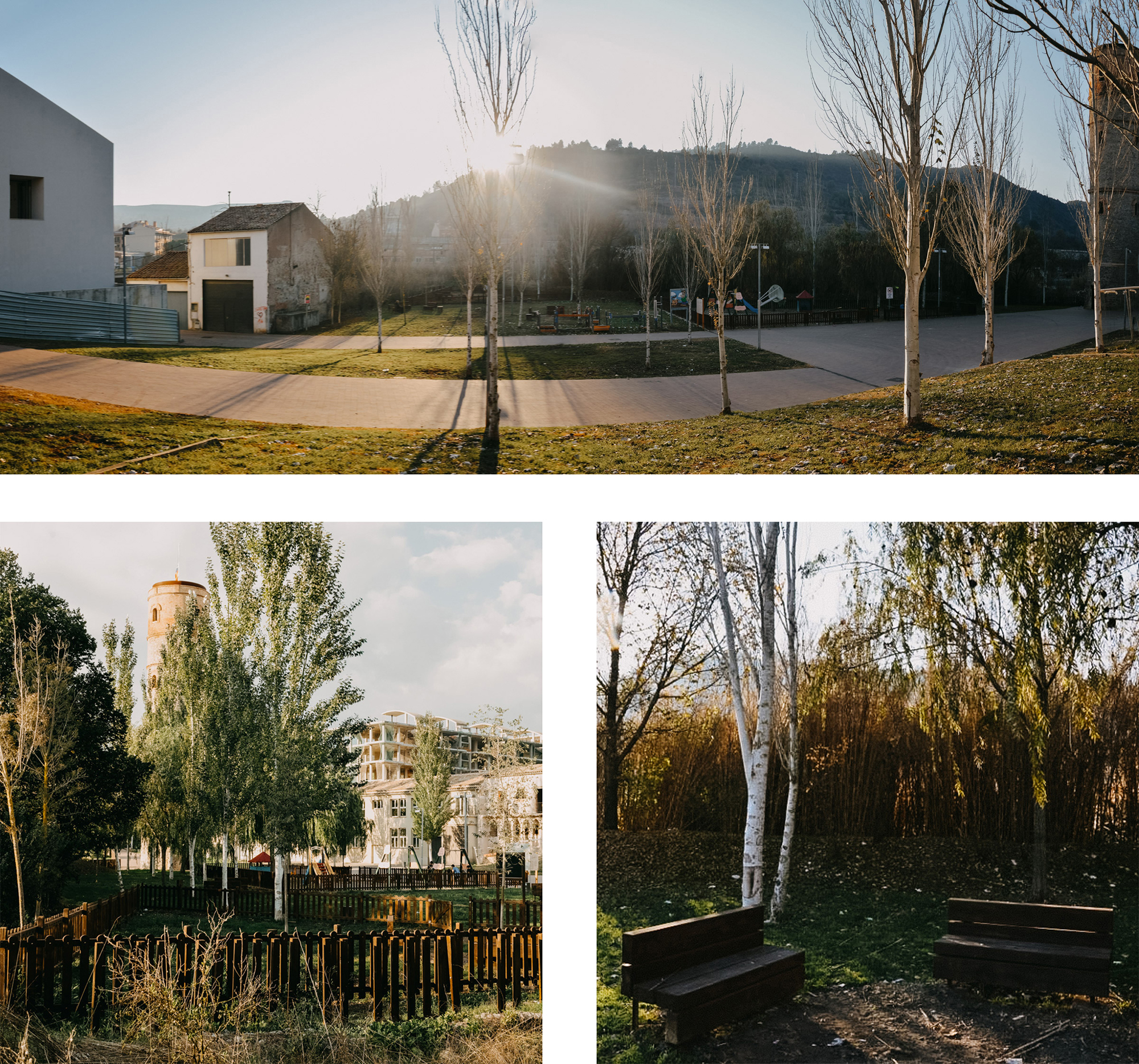
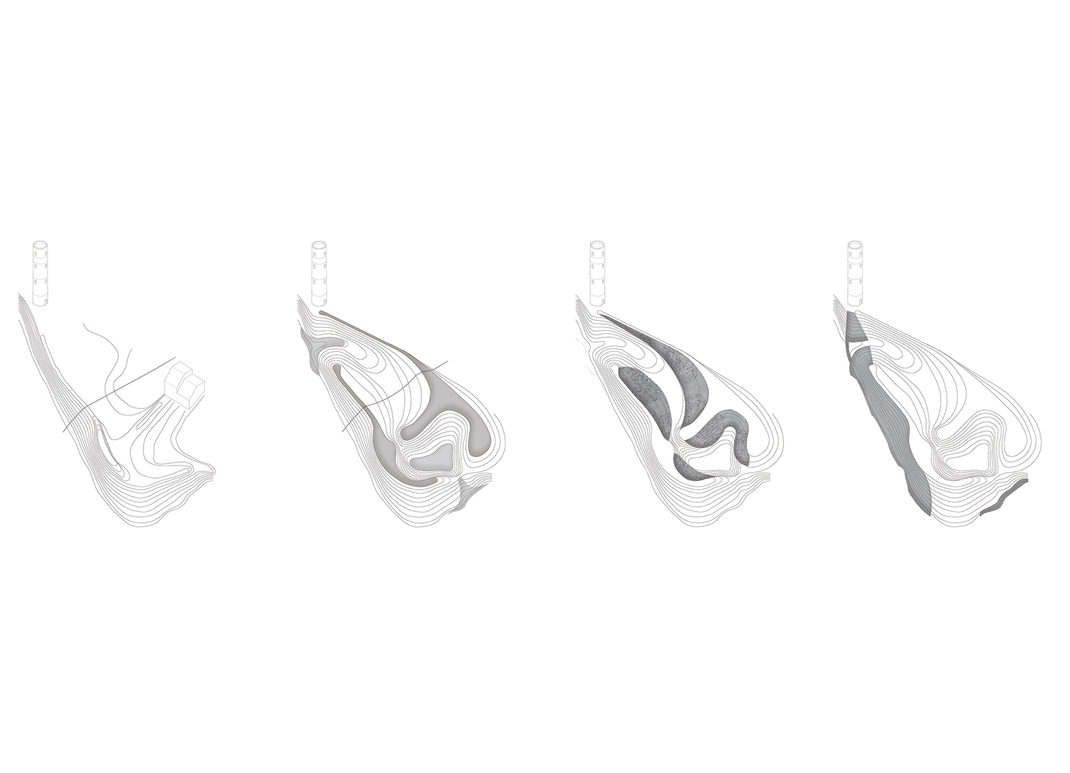
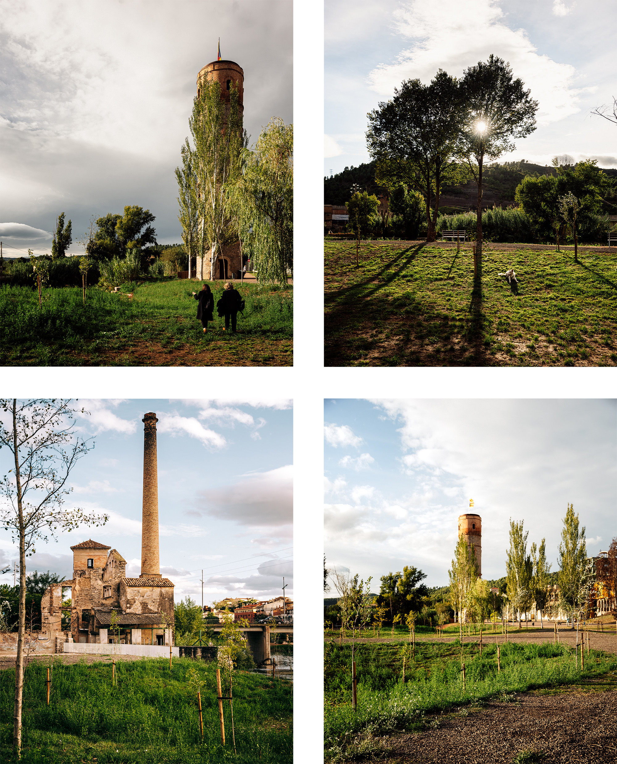
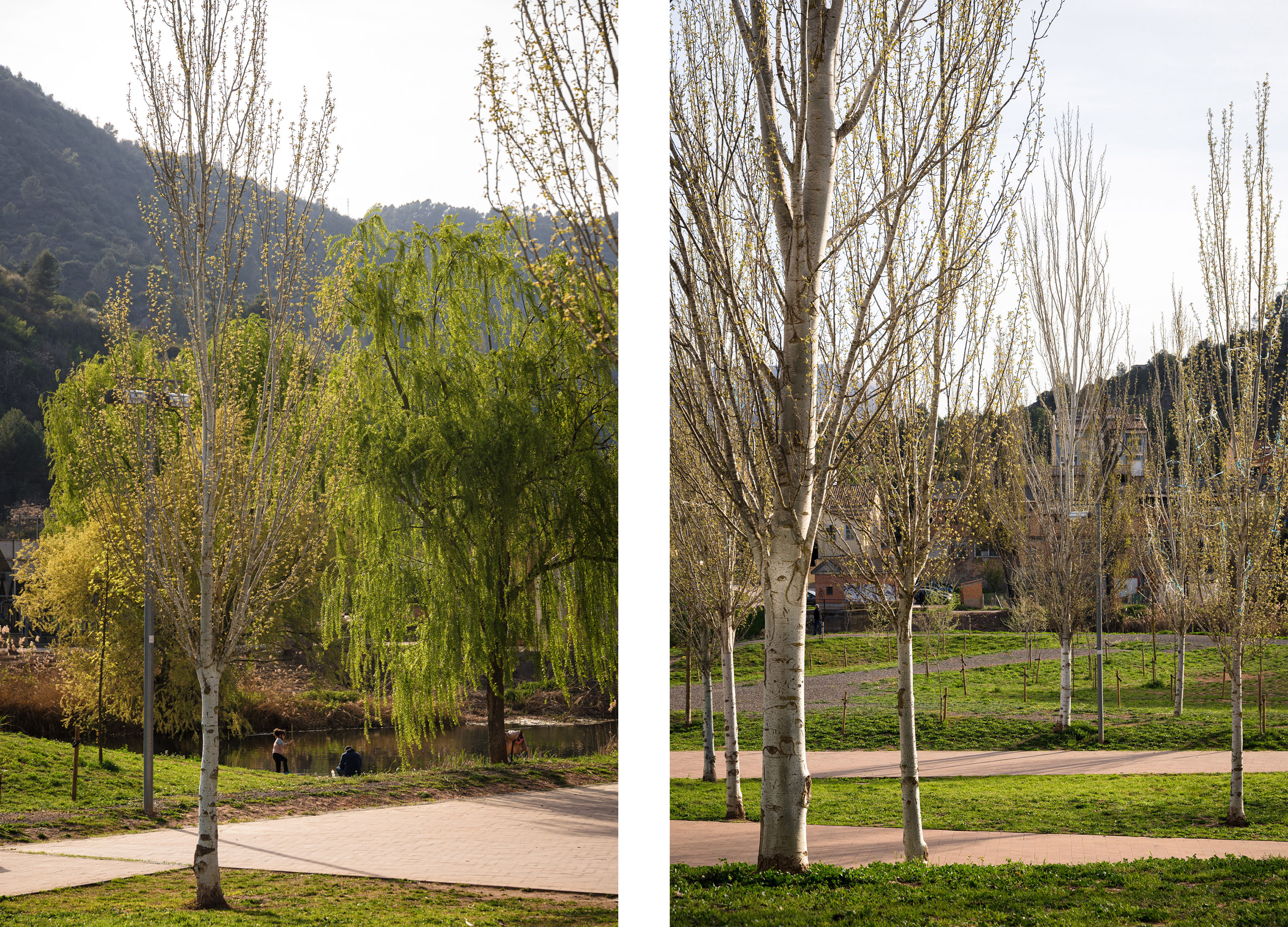
The different dynamics of the territory served as a starting point for the project, with an eye to transitioning towards the recovery of an ecosystem typical of river areas. Manipulating the topography formed a profile to help manage flooding. The paths run along on the edges of raised mounds situated above the highwater level to protect the adjacent urban spaces. The new landscaping recovers the riparian forest structure in relation to the water table; it is formed by mixed groups of trees, complemented by shrubs and halophytes in wetter areas. Bioengineering techniques helped consolidate the sections of the banks that were exposed after stabilizing the slopes weakened by the extraction of invasive species. This created optimal conditions for the development of native vegetation, which varies according to the slope of the terrain and its exposure to the force of the river. All these earthworks were carried out with a minimum of intervention, avoiding generating waste and guaranteeing the limitation of external contributions.
Assessment
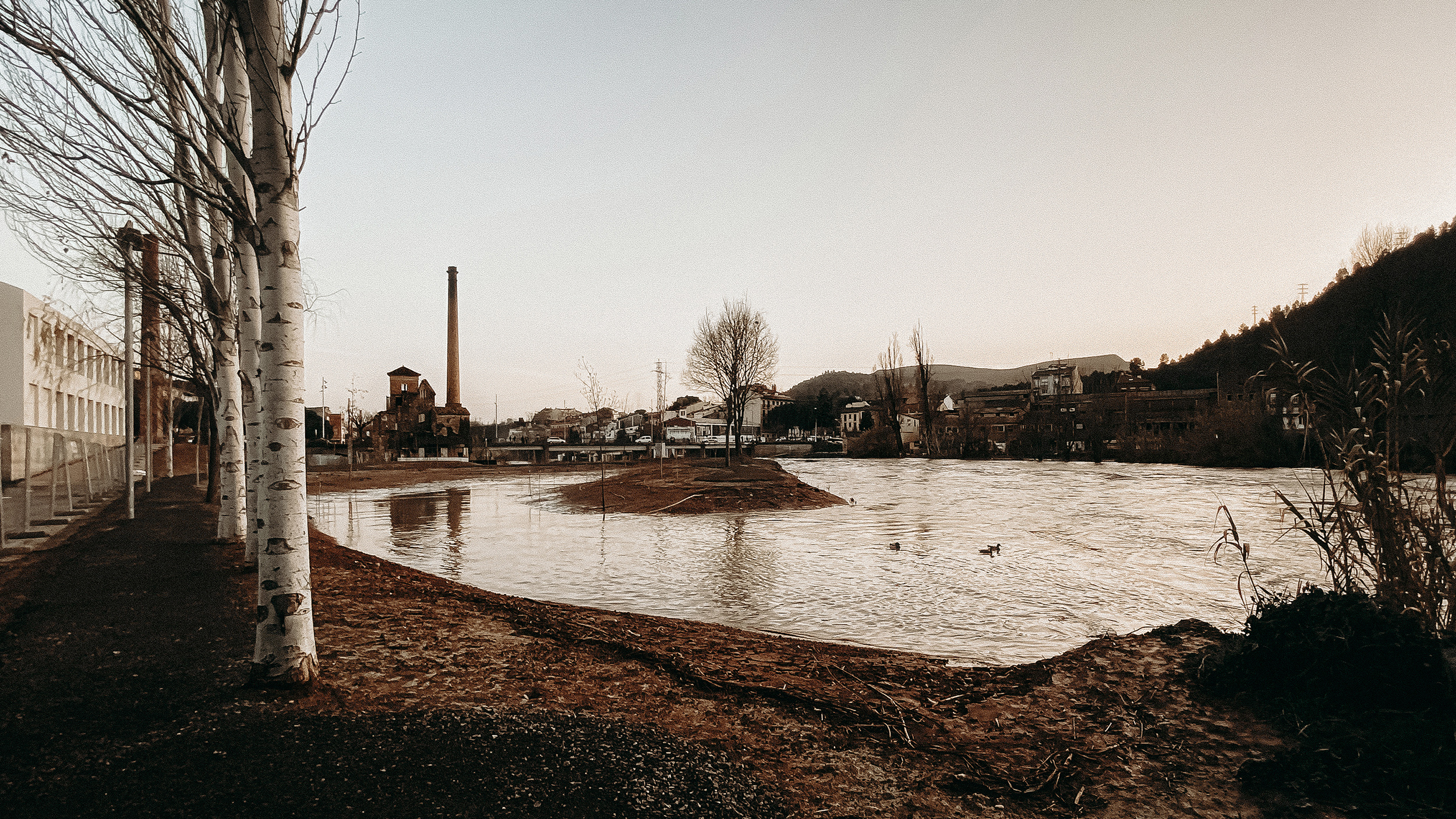
The new public space reclaims the riverside landscape while providing new uses and functions that support the resilience of the urban fabric and the ecological connectivity of the territory. The resilience shown by the area in the face of seasonal storm Gloria, a strong storm that affected the territory in 2020, demonstrated that the space is already contributing to mitigating the climate emergency. The flooding was managed through a process in which the water rose in a controlled manner until it reached a drainage basin, where it was temporarily retained until it could be released through a spillway to return to the river.
[Last update: 02/07/2024]


