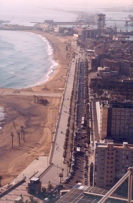
Previous state
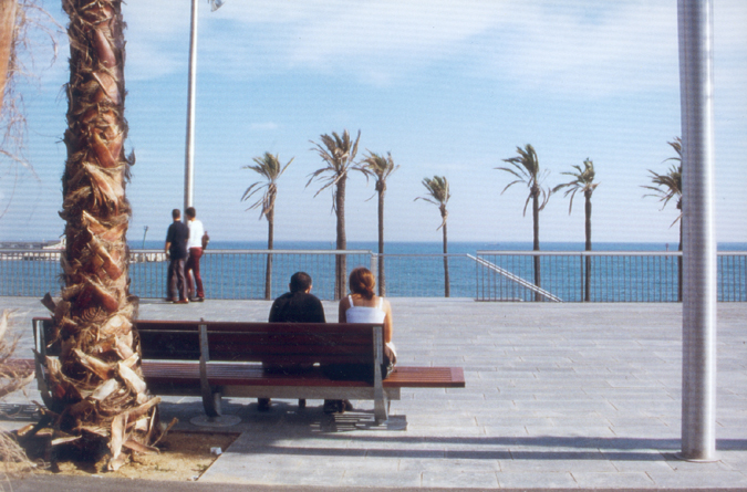
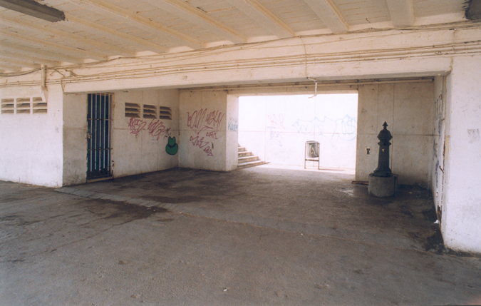
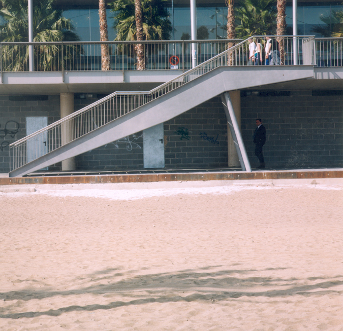
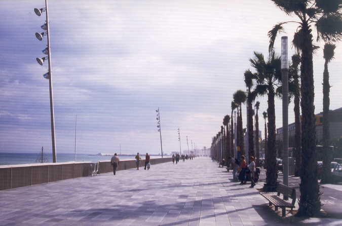
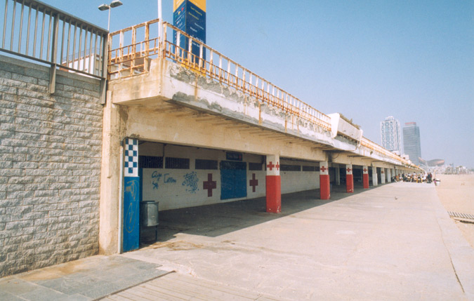
The district of Barceloneta appeared in Barcelona in the second half of the eighteenth century with the partial demolition of the old shoreline district of La Ribera thanks to the construction of a citadel. In order to re-house the affected families, the military planners constructed a new residential area on a regular strip of land obliquely oriented with respect to the sea. In the first third of the nineteenth century, Barceloneta became one of the city's main leisure areas with its public swimming pools, snack bars and restaurants, but the continued and spectacularly increasing population density of the district and the occupation of the beach by a number of factories and port installations gradually brought about a change of image in a sustained process of decay.The sea front of the district was dominated for more than thirty years by a promenade constructed in 1959. Its concrete structure was very badly conserved and, since it was higher than the level of the residential area, relations between the two elements were very deficient, and Barceloneta's relation with the sea was obstructed. In 1994, with the application of the Law of the Coasts, one of the city’s most popular leisure spaces underwent a metamorphosis, with work that began on remodelling the sea front promenade as part of an operation of transforming and regenerating the shoreline that also involved redefining the built-up face of the sea front.
Aim of the intervention
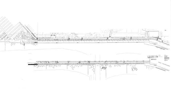
Work on remodelling the promenade along the sea front began with a first phase that was concluded in 1995. The aims were to organise the beach area for public use and to eliminate the obstacles that had represented a barrier between the residential area and the beaches, while improving connections between the promenade and the residential area of Barceloneta and establishing continuity with several of the urban thoroughfares.This first phase meant recovering a continuous area of public space, half a kilometre in length, along the beachfront with a succession of small squares derived from adapting the promenade to the irregular saw-tooth configuration of the built-up face of the sea front. The second phase, covering the general aims of the entire project, involved the continuation of Almirall de Cervera Street, the starting point of the structure of the promenade that was built in 1959, through to the La Catalana Park in a route that links up with the Olympic Port and the sequence of new beaches in the eastern part of the city.
Description
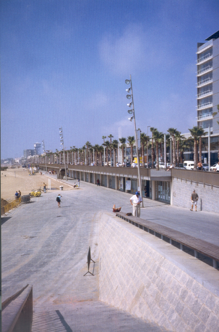
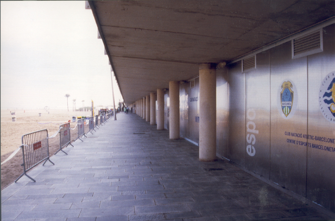
Unlike phase one, the area designated for phase two of the remodelling of the shoreline promenade runs along a continuous built-up front with numerous public buildings – schools, social service centres, the Olympic Port – that were constructed over the last forty years at the level of the old promenade, and at the same height as the façade of the Olympic Village. This fact meant that this level was to be consolidated as its conservation was seen as necessary to the project. Once this level was considered as part of the new promenade, the organisation of the work was determined on the basis of the two existing levels of the previous configuration but with the clear aim of establishing better relations between the two levels.Work began with improving the structural condition of the former promenade and redefining its functional and formal characteristics. The pre-existing double gallery of pillars was replaced by a single row projecting out towards the sea, protecting the lower beach-level part of the walkway that is also a continuation of the first section of the sea-front promenade at the height of 3.8 metres above sea level, at the same level as the annexed structures. The widening of the lower section of the walkway beyond the area strictly defined by the porch with the construction of terraces on wooden platforms aimed to complement the activities of sports clubs and the premises of different municipal and social services – parks and gardens service, Red Cross, municipal police – with bars and restaurants that would guarantee continuous use throughout the year to premises that would otherwise only have enjoyed a markedly seasonal occupation.
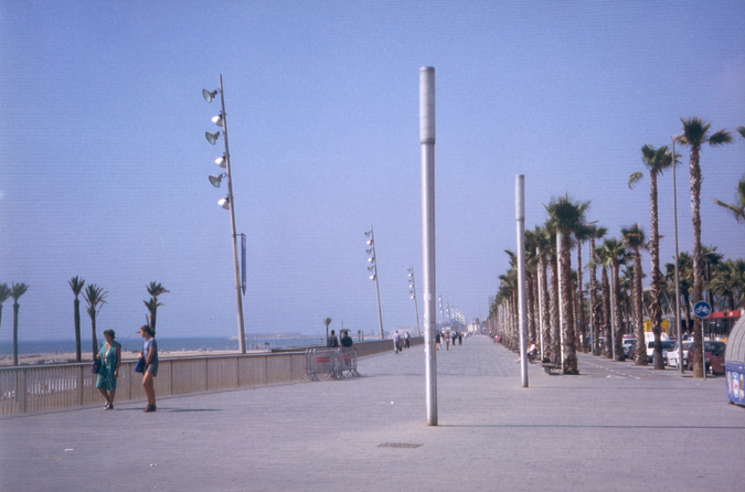
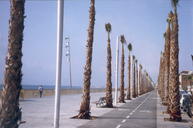
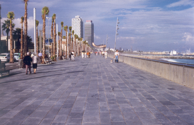
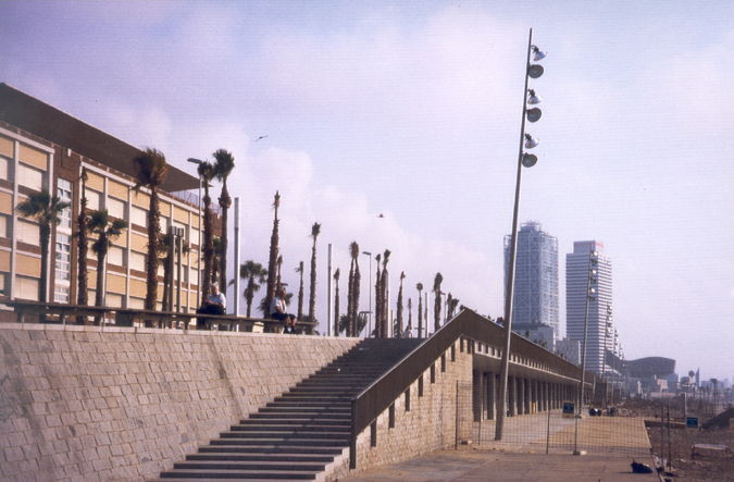
At the upper level, 7.4 metres above sea level, the pedestrian space was considerably widened with the reduction of the road to two lanes, one in either direction, thereby offering two lines of parking spaces in accordance with the new needs and defining a bicycle lane marked by rows of palm trees that emphasise the sense of direction of the new space. The urban fittings and all the vertical elements are distributed in a lineal fashion in keeping with this axis. This level is connected with the beach by way of sets of metal steps every 120 metres and, at either end, with generously-dimensioned ramps that resolve the transition from the already-completed first section. Showers on the beach and new public toilet installations are located to coincide with points of access to the beach.
Since the two phases of the new project for the Passeig Marítim of Barceloneta belong to the same contextual setting of the city, despite the geometric differences imposed on the promenade by the uneven configuration of the built-up front, the intervention brought out the formal and material coherence between the two spheres. The stone used for paving, the wooden platforms used to tone down the transition between the stone used for paving and the sand of the beach, lighting elements, benches, and the way contact between the two levels has been resolved, have all been employed in such a way as to give a sense of unity with the first section of the promenade, intensifying a feeling of continuity. At the lower level, the distribution every sixty metres of lighting columns fifteen metres high aims to unite the beach and the promenade, bringing them into relation with the surrounding urban scale and the towers of the Olympic Port.
Assessment
Since the 1980s in particular, and from Montjuïc to Poblenou, Barcelona has made a major effort to restructure the whole maritime façade of the city and to bring the city back into contact with the sea. The work carried out in completing the Barceloneta promenade, the setting that represents the highest degree of this integrated renovation, has extended the continuity of an itinerary running the length of the maritime façade. Starting with Port Vell (Old Port), this route links up different public spaces by the sea – Moll de la Fusta, Barceloneta, the Olympic Port, Nova Icària, Bogatell, Mar Bella – along a diversified sequence of walks that has defined the port and beach settings, while also providing areas that are well-equipped for proper use and achieving better connections with the inner areas of the city.Moving one of Barcelona's ring routes of coastline traffic to a new below-ground location has been a key factor in attaining the goal of improving connections between the built-up strips along the shoreline and the sea. In the coming years, on the far side of the Poblenou Park, the new urban developments of Diagonal Mar and the adjoining area designated for the International Forum of Cultures 2004, now in construction, will make it necessary to look for further linking solutions because the extension of the shoreline routes to the mouth of the River Besòs and its adjoining municipal boundary will also require improvements in transversal permeability with the sea for the residential areas of La Mina and the area to the south-west of the River Besòs.
Mònica Oliveres i Guixer, architect
[Last update: 02/05/2018]


