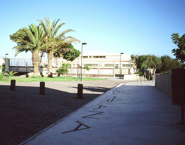
Previous state
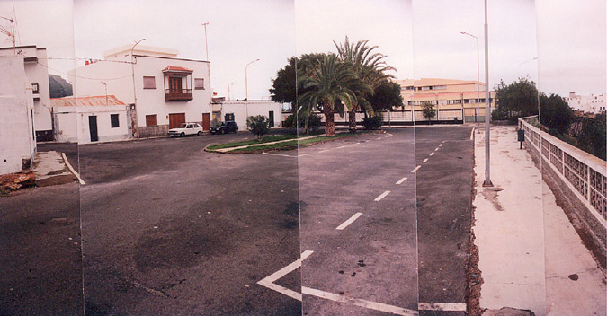
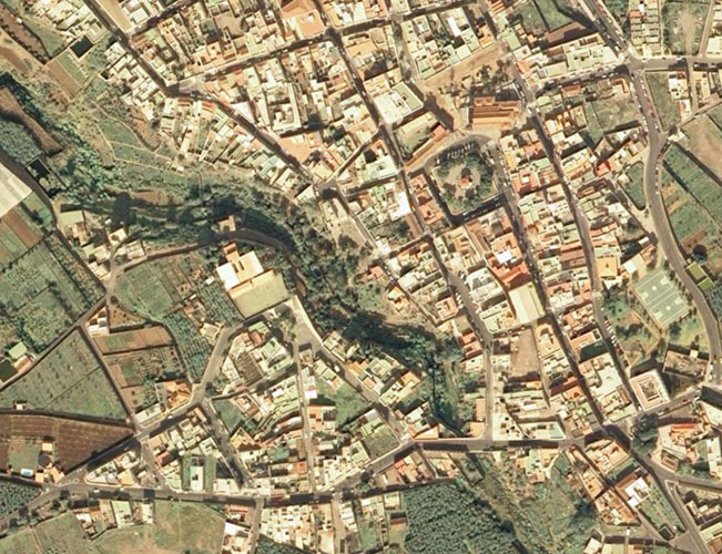
Buenavista del Norte is a town at the north-western tip of the island of Tenerife. It is an eminently agricultural town that comes within the area of the Teno Rural Park, one of the most important natural areas of the Canary Islands. The urban fabric is developed on a meshed structure whose nerve centre is the Plaza de la Iglesia de los Remedios and which is sharply interrupted by the bed of the Triana Ravine. This geographical feature has historically marked the western boundary of the old quarter of Buenavista, and been an obstacle to its relation with the Triana district on the other side of the ravine. In recent times, the gradual abandonment of export agriculture, the concentration of the tourist economy in the southern parts of the island and the distance from the metropolitan area of Santa Cruz de Tenerife have plunged the town into a deep economic crisis.Aim of the intervention
In 1995, the Cabildo Insular de Tenerife, the supra-municipal administration that covers the territorial sphere of the whole island, drafted an action plan entitled 'Green Tenerife', which analysed the needs for and lack of green spaces in the city, the area and the whole island and proposed a series of lines of action to equip Tenerife with suitable facilities. Among the 11 sections into which the actions finally selected as part of the plan were divided, section 9 corresponds to Buenavista del Norte.Description
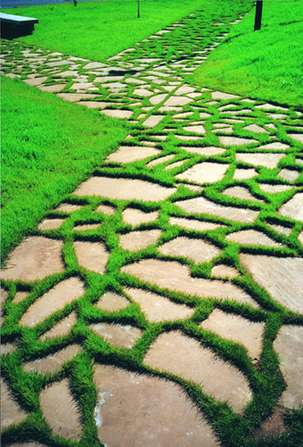
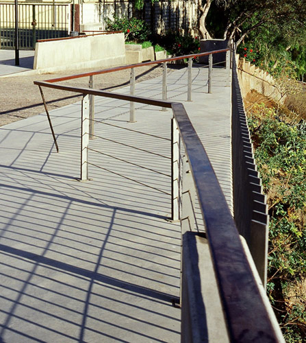
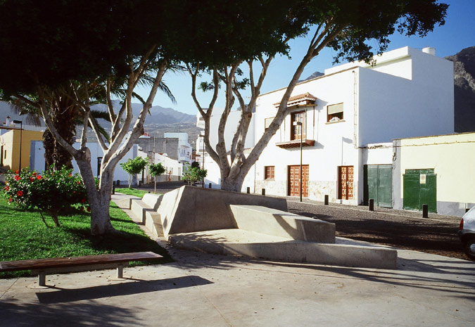
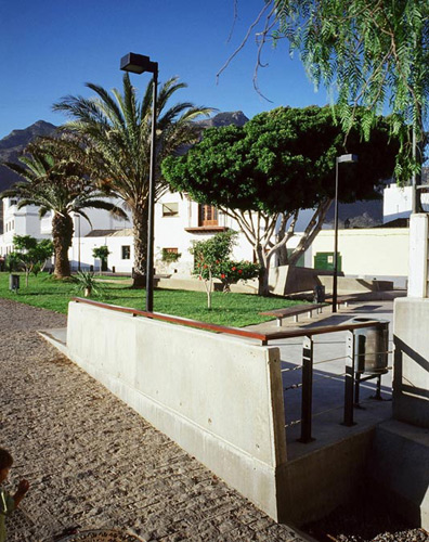
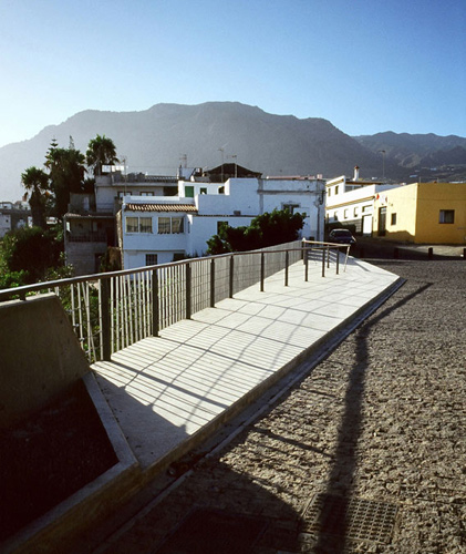
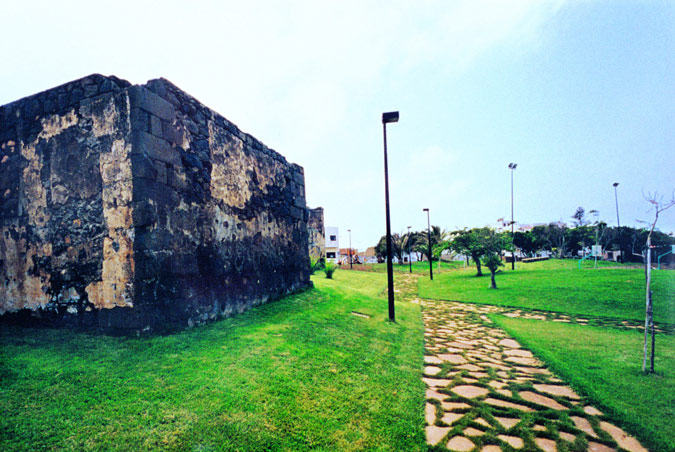
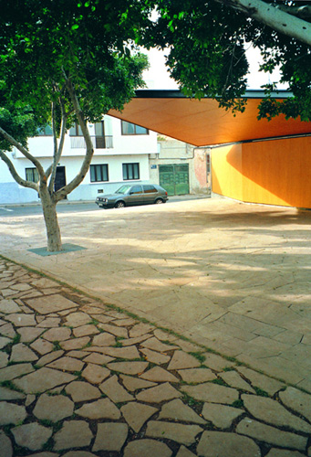
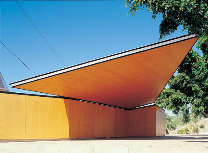
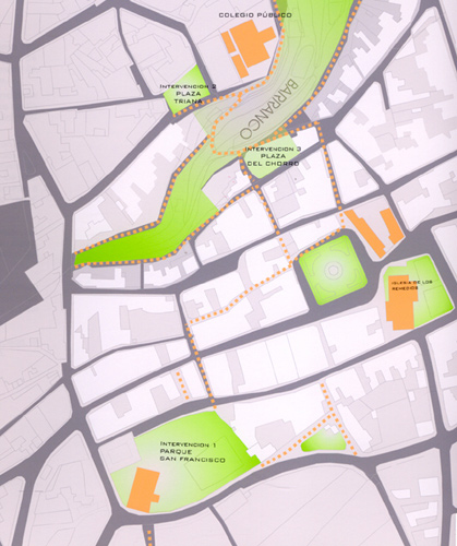
The action proposes a new dynamic for the urban fabric of Buenavista through the superimposition of a nodal network consisting of four public spaces interconnected by a system of itineraries for walkers. In this way the new centre provided for the Plaza de los Remedios is complemented by the appearance of three new nodes in the Parque de San Francisco, the Plaza del Chorro and the Plaza de Triana. This last square is the only one of the four nodes in the Triana district, separated from the old quarter by the Triana Ravine. In the 1980s the town council carried out a landscape restoration of the ravine which involved cleaning the edges, planting new vegetation and laying out a small rural park at the bottom. Now the two sides of the ravine are well interrelated by the new network of itineraries which connects the entrances to the ravine park with the Plaza del Chorro and the Plaza de Triana.The new system of public spaces establishes new recreational uses the length and breadth of the old quarter. The most representative case is the Parque de San Francisco which, before the restoration, consisted of an open air municipal sports field and the ruins of the old convent of San Francisco, which are part of the historic and artistic heritage of Buenavista del Norte. Given the repercussion of the surface occupied by the sports facilities on the total surface area, the proposal pays special attention to the design of the plants on the slopes and the trees around them in order to minimise their visual impact. A system of paths guides walkers along the main routes while marking out the boundaries of the different zones of the park in order to reduce possible interference by the sporting uses in the peaceful enjoyment of the other spaces. The drinks kiosk is in the park entrance area, more related to the main footpath that leads to the Plaza de los Remedios.
Assessment
This intervention performs a series of small scale surgical operations according to a strategy which always takes account of the urban scale. And so, although it is a one-off action, this procedure guarantees that public investment will have an expansive effect on the urban structure of Buenavista which sees how its old quarter and the Triana district have been definitively reunited.David Bravo Bordas, architect
[Last update: 02/05/2018]


